vb123.com is a free support and help site for Microsoft Access users around the world with 400+ of the best Microsoft Access articles, all for free
Check out our tips and tricks - 400+ of free samples, tools, short and full length tutorials and code for Access 2003 and earlier to Access 2016!
Learn the ins and outs of Access! For years vb123.com has been a helpful resource to the Microsoft Access community for both novices and professional developers alike.
vb123.com is now an archive site providing technical solutions to top issues for your Access database.
Originally created and maintained by Garry Robinson (Microsoft Access MVP 2006-2017), it is now administered by his friend at IT Impact, Juan Soto, a fellow Microsoft Access MVP.

VBA Coder?
Design & Tables
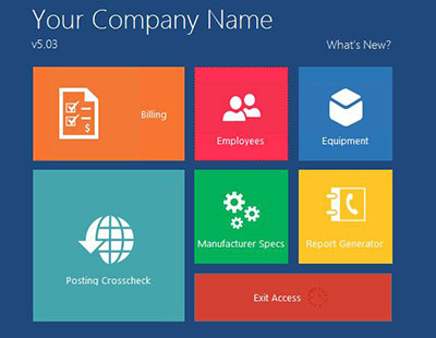
 A good graphical design or database design can make you Access application look like a million bucks!